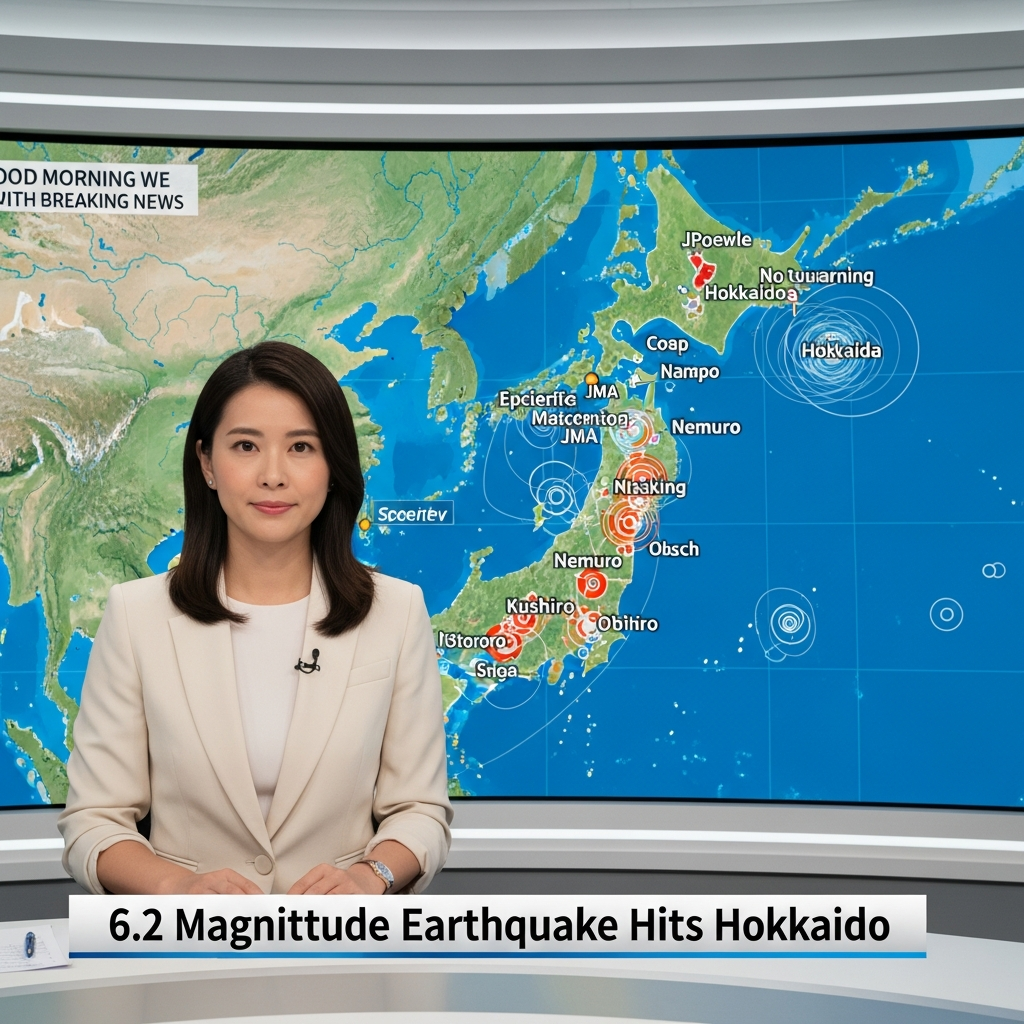
An early Monday morning tremor, registering a magnitude of 6.2, recently rattled Japan’s northernmost main island of Hokkaido. Initial reports bring a sigh of relief: no tsunami advisory was issued, and no immediate damage or casualties have been reported. This latest seismic event, while significant, highlights Japan’s constant vigilance and its deep understanding of living on the Pacific “Ring of Fire.”
The Latest Details: A Tremor in Hokkaido
The earthquake struck northern Japan in the early hours of Monday morning, around 5:23 am local time. Its epicenter was located approximately 11 to 18 miles west of the small town of Sarabetsu, situated on Hokkaido. Official agencies provided slightly varying measurements, with the Japan Meteorological Agency (JMA) reporting a magnitude of 6.2, while the U.S. Geological Survey (USGS) measured it at 6.1.
The depth of the quake was recorded between 50 and 81 kilometers. Crucially, the JMA confirmed that no tsunami advisory was issued, alleviating immediate fears of destructive waves. While no widespread damage was reported, local impacts included the suspension of train services at JR Obihiro Station in Obihiro City, Hokkaido, indicating immediate disruptions in the affected region. Authorities continue to monitor the situation closely for any developing concerns.
Decoding Japan’s Seismic Landscape
Japan stands as one of the world’s most seismically active nations. This is due to its unique geological position at the convergence of four major tectonic plates: the Pacific, North American, Eurasian, and Philippine Sea plates. This complex interplay results in extensive subduction zones off its coasts, where one plate slides beneath another.
This geological process is not only responsible for the formation of the Japanese archipelago itself but also for the country’s staggering frequency of earthquakes. Japan experiences approximately 1,500 tremors annually, accounting for roughly 18 percent of all earthquakes globally. Such constant seismic activity necessitates Japan’s world-leading expertise in earthquake science and disaster preparedness.
Understanding Earthquake Depth and Impact
The depth at which an earthquake occurs plays a critical role in its potential for damage. Seismic waves from shallower events have less distance to travel to the Earth’s surface. This results in stronger ground shaking, which can lead to greater structural damage and a higher potential for casualties. The USGS categorizes earthquake depths into three zones for scientific analysis:
Shallow: 0 to 70 kilometers deep
Intermediate: 70 to 300 kilometers deep
Deep: 300 to 700 kilometers deep
The recent Hokkaido earthquake, with a reported depth of 50 to 81 kilometers, falls on the cusp of the shallow and intermediate categories. While it registered as relatively deep compared to some of the most destructive quakes, its depth still allowed for widespread feeling across Hokkaido and warranted careful monitoring by authorities. Deeper earthquakes, by contrast, tend to dissipate more energy before reaching the surface, often resulting in less intense shaking.
The Shadow of Recent Seismic Activity
This latest 6.2 magnitude earthquake in Hokkaido occurred just one week after a more significant 7.7 magnitude offshore tremor prompted elevated concerns. That earlier, larger quake had led Japanese authorities to issue an advisory. This advisory warned of a “slightly higher risk” for a potential “megaquake” – an earthquake of 8.0 magnitude or stronger – specifically for the nation’s northeastern coastal areas.
It is important to note, however, that the JMA clarified that Monday’s 6.2 magnitude quake was outside the specific zone covered by this megaquake advisory. Despite this, the JMA issued a separate caution for Hokkaido following the recent event. They warned of an increased danger of falling rocks and landslides in areas that experienced strong shaking. Furthermore, officials predicted a high risk of more earthquakes of similar strength occurring in the Hokkaido area within the coming week, underscoring the ongoing need for vigilance.
Japan’s Resilience: Preparedness and Infrastructure
Japan’s proactive approach to seismic activity is a testament to its deep understanding of its geological realities. The nation boasts some of the world’s most advanced earthquake engineering and stringent building codes. Structures across the country are designed to withstand significant shaking, often incorporating flexible foundations and dampening systems to absorb seismic energy.
Beyond infrastructure, Japan has also developed sophisticated tsunami warning systems, capable of rapidly detecting offshore quakes and issuing alerts within minutes. Communities are well-drilled in evacuation procedures, and extensive public awareness campaigns ensure that citizens are prepared for various disaster scenarios. This collective resilience is a crucial factor in mitigating the impact of frequent tremors.
Lessons from History: The 2011 Tohoku Earthquake
The memory of the devastating 9.0 magnitude undersea earthquake in 2011, followed by a catastrophic tsunami, remains etched in Japan’s collective consciousness. That event claimed or left missing around 18,500 lives and led to the meltdown at the Fukushima nuclear plant. This historical context profoundly shapes Japan’s unyielding commitment to earthquake science, preparedness, and safety protocols.
Every new tremor, regardless of its immediate impact, serves as a poignant reminder of nature’s power. It reinforces the importance of continuous innovation in disaster mitigation and the ongoing need for public readiness. Japan’s approach demonstrates a national dedication to protecting its citizens against the inevitable forces of its seismic environment.
Staying Safe: Essential Earthquake Preparedness
Living in a seismically active region like Japan requires constant preparedness. For residents and visitors alike, understanding basic safety protocols can make a significant difference during an earthquake. Here are some essential actions:
“Drop, Cover, Hold On”: At the first sign of shaking, drop to the ground, take cover under a sturdy table or desk, and hold on until the shaking stops.
Emergency Kit: Have an emergency kit readily accessible. This should include water, non-perishable food, a flashlight, a first-aid kit, a whistle, and essential medications.
Stay Informed: Follow local advisories from the Japan Meteorological Agency (JMA) and local authorities. Emergency apps can also provide real-time updates.
Evacuation Routes: Know your building’s evacuation routes and designated safe zones. In coastal areas, be aware of tsunami evacuation plans.
Stay Calm: While challenging, maintaining composure allows for clearer thinking and more effective action during and after an earthquake.
Frequently Asked Questions
What caused the recent 6.2 magnitude earthquake in Northern Japan?
The recent 6.2 magnitude earthquake in Northern Japan, specifically Hokkaido, was caused by the complex tectonic activity inherent to Japan’s geological location. Japan sits atop the “Ring of Fire,” a major area in the basin of the Pacific Ocean where many earthquakes and volcanic eruptions occur. The country is situated at the convergence of four major tectonic plates – the Pacific, North American, Eurasian, and Philippine Sea plates. The stress accumulated from the constant movement and interaction of these plates, particularly in subduction zones where one plate slides beneath another, periodically releases energy, leading to earthquakes like the one recently experienced.
Where can I find official updates and safety information after a Japan earthquake?
After an earthquake in Japan, the most reliable and immediate official updates and safety information can be found through the Japan Meteorological Agency (JMA). The JMA is responsible for monitoring seismic activity, issuing earthquake and tsunami warnings, and providing detailed advisories. Local municipal governments also disseminate critical information through their official websites, public broadcasts, and emergency notification systems. For those with smartphones, downloading official emergency alert apps (like Yurekuru Call or Safety Tips) can provide real-time notifications. Always prioritize information from official sources to ensure accuracy and avoid misinformation.
How does the depth of an earthquake, like the one in Hokkaido, affect its danger level?
The depth of an earthquake significantly impacts its potential danger. Shallower earthquakes, typically occurring within 0-70 kilometers of the Earth’s surface, are generally more dangerous. The seismic waves from these events have less distance to travel, reaching the surface with greater energy and causing more intense ground shaking. This increased shaking can lead to more severe damage to buildings and infrastructure, and a higher risk of casualties. The Hokkaido earthquake’s depth, recorded between 50 and 81 kilometers, places it on the boundary of shallow and intermediate depths. While this depth can still generate considerable shaking, very deep earthquakes (below 300 km) often cause less surface damage due to energy dissipation over longer distances.
Conclusion: Vigilance Remains Key in Japan
The 6.2 magnitude earthquake in Hokkaido serves as a potent reminder of Japan’s dynamic geological environment. While initial reports indicate no major damage or casualties, the event underscores the ongoing nature of seismic activity in the region. Japan’s exemplary preparedness, advanced infrastructure, and a vigilant population are crucial in navigating these natural phenomena. As authorities continue to monitor for potential aftershocks and secondary risks like landslides, the focus remains on safety, resilience, and the invaluable lessons learned from its long history with the Earth’s shifting crust.