A catastrophic flash flood event ripped through Central Texas, particularly impacting Kerr County, over the July Fourth holiday weekend in 2025. The sudden and unprecedented rise of the Guadalupe River unleashed devastation, leading to significant loss of life and prompting a desperate search for survivors. In the tragic aftermath, a crucial and pointed disagreement has emerged: how adequate were the weather forecasts in predicting the scale and intensity of this disaster?
While state and local officials rapidly mobilized emergency resources based on initial storm information, the sheer ferocity of the flooding caught many completely by surprise. The Guadalupe River near Kerrville experienced an astonishing rise, surging an estimated 26 feet in just 45 minutes during the early hours of Friday morning. This rapid ascent turned familiar landscapes into raging torrents, overwhelming communities and leaving hundreds stranded.
The Deadly Impact and Desperate Search
The human cost of the flood has been immense. As of Sunday, July 6, 2025, the confirmed death toll stood at least 78 people. A staggering 68 of those fatalities occurred within Kerr County alone, including 40 adults and tragically, 28 children. Ten more deaths were reported in surrounding affected counties. The disaster also left dozens of people missing, fueling frantic search and rescue operations across the region.
Over 850 individuals were rescued from the floodwaters, many requiring airlift by helicopter. The search for missing persons continued intensely, notably including ten girls and a counselor from Camp Mystic, a Christian summer camp situated directly beside the Guadalupe River. Officials, including Texas Division of Emergency Management chief W. Nim Kidd, expressed hope for finding those still unaccounted for, underscoring the deep compassion driving the search efforts.
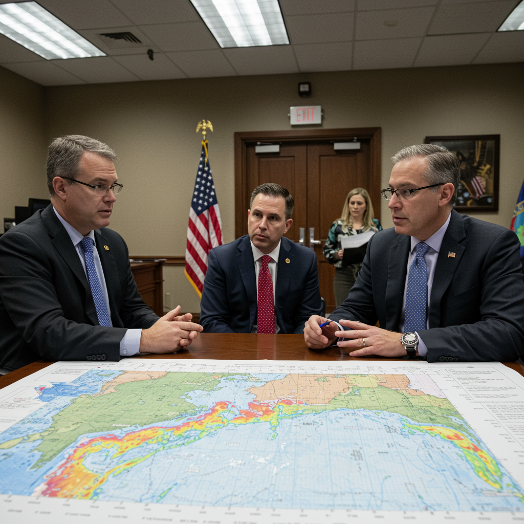
The scale of the response was massive, involving over 1,000 personnel. More than 400 first responders from over 20 agencies concentrated their efforts in Kerr County, deploying over 100 vehicles and a dozen K-9 units to scour the riverbanks and surrounding areas. The search zone expanded to include San Saba and Burnet counties as the scope of the flooding became clearer. Responders battled challenging conditions, including intense heat, dangerous wildlife like snakes, and roads rendered impassable by floodwaters and debris. Officials urged the public to avoid flying drones in the search areas, as they interfered with critical agency operations.
Texas Officials: Unprecedented and Unforeseen
In the wake of the devastation, top Texas officials voiced strong sentiments that the true magnitude of the flood was unforeseeable despite preparedness efforts. Kerr County’s top-elected official, Judge Rob Kelly, acknowledged that flooding is common in the area, even calling it the “most dangerous river valley in the U.S.” However, he stressed that this event was different. “We didn’t know this flood was coming,” Kelly stated definitively. “Rest assured, no one knew this kind of flood was coming.” He described the speed and intensity as unprecedented, overwhelming any potential preparation measures. Officials like Kerrville City Manager Dalton Rice recounted the river’s terrifying 20-25 foot rise in just 90 minutes around 3:30 a.m. Friday.
Texas Division of Emergency Management chief W. Nim Kidd specifically pointed to the National Weather Service’s initial rainfall predictions. Kidd noted that the forecast received on Wednesday had predicted significantly lower amounts – just three to six inches of rain in the Concho Valley and four to eight inches in the Hill Country. He contrasted this sharply with the actual rainfall in the hardest-hit locations, stating the devastating amount that fell was “never in any of those forecasts.”
Governor Greg Abbott also acknowledged the NWS warnings about heavy rain and potential flash flooding. However, he articulated a key point of disconnect: for locals accustomed to lesser flood events, the general term “flash flooding” did not convey the catastrophic reality they experienced. Abbott emphasized that there was “no expectation of a water wall of almost thirty feet high.” Officials suggested that the speed of the rise made timely evacuations, particularly from riverfront camps, potentially impossible or even more dangerous by forcing people onto already flooded roads, highlighting the delicate balance in emergency decisions.
National Weather Service: Warnings Were Issued
The National Weather Service (NWS), for its part, defended the warnings and information it provided to emergency officials and the public leading up to and during the event. An NWS spokesperson highlighted several key actions taken. Forecast briefings were conducted for emergency management officials as early as Thursday. A flood watch for multiple counties, warning of potential flooding from “pockets of heavy rain,” was issued on Thursday afternoon.
Furthermore, the NWS sent out flash flood warnings Thursday evening and continued into Friday morning as the storm intensified. The agency specifically noted that its Austin/San Antonio office issued a flash flood warning for Kerr and Bandera Counties at 1:14 a.m. local time on Friday. This warning included a “considerable” tag, a critical detail as it automatically triggered an emergency alert to mobile devices in the affected area, designed to immediately notify residents of severe danger.
The NWS timeline indicated they upgraded the warning to a rare flash flood emergency for parts of Kerr County as early as 4:03 a.m. This elevated alert level is reserved for “exceedingly rare” situations where weather conditions pose a severe threat to human life. The agency pointed out that the Kerr County Sheriff’s Office did not first report flooding at low water crossings until 4:35 a.m., suggesting the most severe warnings were disseminated before local officials were reporting widespread impacts on the ground. The NWS stated, “The National Weather Service remains committed to our mission to serve the American public through our forecasts and decision support services.”
The Inherently Difficult Science of Forecasting
Meteorological experts weighed in on the debate, underscoring the immense technical challenge involved in predicting extreme, localized rainfall events. Michael Morgan, a professor of atmospheric sciences, acknowledged that precipitation forecasting remains “one of the most vexing problems” in his field. Predicting exactly where and when a complex weather system will unload its heaviest rains, especially in challenging terrain like river valleys, is exceptionally difficult.
However, Morgan stated his belief that the NWS forecasts for this event were “on point.” He explained that the agency provided a general sense of the storm threat initially and then issued more specific local forecasts and warnings as detailed information became available, aiming to highlight the areas facing the most serious potential threats. He reiterated that “specifically targeting in locations that are going to receive the maximum rainfall is an incredibly challenging forecast problem.”
Pat Fitzpatrick, another atmospheric sciences professor, echoed the sentiment that this was a rare and complex weather system. Occurring overnight on a long holiday weekend added another layer of complication. Fitzpatrick offered a nuanced perspective, suggesting that neither officials nor the NWS were necessarily at fault. He felt that “State officials followed proper pre-storm and ongoing storm-protocols,” and “The National Weather Service also followed their proper protocols of warnings and a flood emergency statement.” Ultimately, he viewed the event as an “unfortunate, tragic event” driven by the nature of the storm itself.
Were Staffing and Funding Cuts a Factor?
The conversation surrounding the flood’s impact also touched upon the potential role of staffing and funding levels at the National Weather Service and its parent agency, the National Oceanic and Atmospheric Administration (NOAA). Some critics questioned whether job cuts under the Trump administration might have affected the NWS’s capacity for forecasting, communication, and emergency coordination.
Earlier in the year, the NWS had seen a reduction of nearly 600 workers. While the agency had announced efforts to hire over 100 employees to “stabilize operations” following public concern over the shortfalls, vacancies remained. Notably, Paul Yura, who served as the warning coordination meteorologist at the very Austin/San Antonio NWS office covering the affected region, had taken an early retirement offer in April, just months before the flood. Warning coordination meteorologists play a crucial role as liaisons between the NWS and public safety officials, providing vital information on severe weather threats. Reports indicated the Austin/San Antonio office had at least six vacancies at the time of the flood.
Michael Morgan, who had previously worked with NOAA, also raised concerns about threatened funding cuts for critical research aimed at improving weather forecasting. He highlighted NOAA budget documents that proposed eliminating funding for institutions like the Office of Oceanic and Atmospheric Research and the National Severe Storms Lab. Morgan argued that continued “investments in that [research] that are really going to help mitigate future tragedies like what unfolded in Texas.”
President Trump, when asked about whether job cuts affected the response, denied it. He described the event as a “100-year catastrophe,” stating it “happened in seconds” and “nobody expected it, nobody saw it.” He added that he didn’t know if the government should hire back meteorologists, suggesting even talented people didn’t see this coming.
The Ongoing Aftermath and Lessons
Search and rescue operations continued tirelessly across the flood-ravaged landscape. Officials cautioned residents about ongoing hazards, including saturated ground susceptible to further flooding with even minor rain, snakes, and impassable roads. President Trump signed an emergency declaration for Kerr County and indicated a likely visit. Texas Governor Greg Abbott urged residents to remain “extraordinarily cautious” and reinforced the critical safety message: “turn around, don’t drown,” highlighting that many victims were swept away in vehicles.
The catastrophic Texas flood revealed not only the raw, unpredictable power of nature but also sparked a vital discussion about the effectiveness of weather warnings and the complexities of emergency response. While the NWS maintains it issued timely and appropriate alerts, some officials felt those warnings did not adequately convey the unprecedented scale of the impending danger. The debate underscores the perpetual challenge faced by meteorologists in communicating the potential severity of rare events and the equally challenging task for officials and the public in interpreting and acting upon those warnings, especially when forecasts involve inherent uncertainty.
Frequently Asked Questions
Why did the deadly Texas flood catch many by surprise despite warnings?
Despite the National Weather Service (NWS) issuing a flood watch and later flash flood warnings, including a rare “flash flood emergency,” some Texas officials, like Kerr County Judge Rob Kelly and TDEM chief W. Nim Kidd, stated they did not anticipate the extreme magnitude of the flooding. They noted that initial forecasts predicted lower rainfall totals than what actually fell and felt general terms like “flash flooding” didn’t convey the specific, unprecedented danger, such as the Guadalupe River rising 26 feet in just 45 minutes. Meteorologists agree that predicting the precise location and intensity of extreme, localized rainfall is one of the most difficult challenges in the field.
How did the National Weather Service defend its forecasts for the Texas flood?
The National Weather Service (NWS) defended its actions by detailing the timeline of alerts issued. They conducted briefings for emergency officials on Thursday, issued a flood watch Thursday afternoon, and sent flash flood warnings Thursday evening and Friday morning. The NWS pointed out they issued a flash flood warning with a critical “considerable” tag, which triggered mobile alerts, at 1:14 a.m. Friday for the hardest-hit areas and upgraded it to a “flash flood emergency” by 4:03 a.m. — before the Kerr County Sheriff’s Office reported widespread flooding at 4:35 a.m. They stated they fulfilled their mission by providing forecasts and decision support services.
Did National Weather Service job cuts contribute to the impact of the Texas flood?
Following recent job cuts at the National Weather Service (NWS), some critics questioned if reduced staffing played a role in the flood’s deadly impact. The NWS lost nearly 600 workers earlier in the year, and the Austin/San Antonio office covering the affected area reportedly had at least six vacancies, including the warning coordination meteorologist position responsible for liaising with emergency officials. While President Trump denied cuts were a factor, some experts and reports suggested that vacancies could potentially affect coordination, and proposed cuts to research funding could hinder future forecasting improvements necessary to mitigate such tragedies.