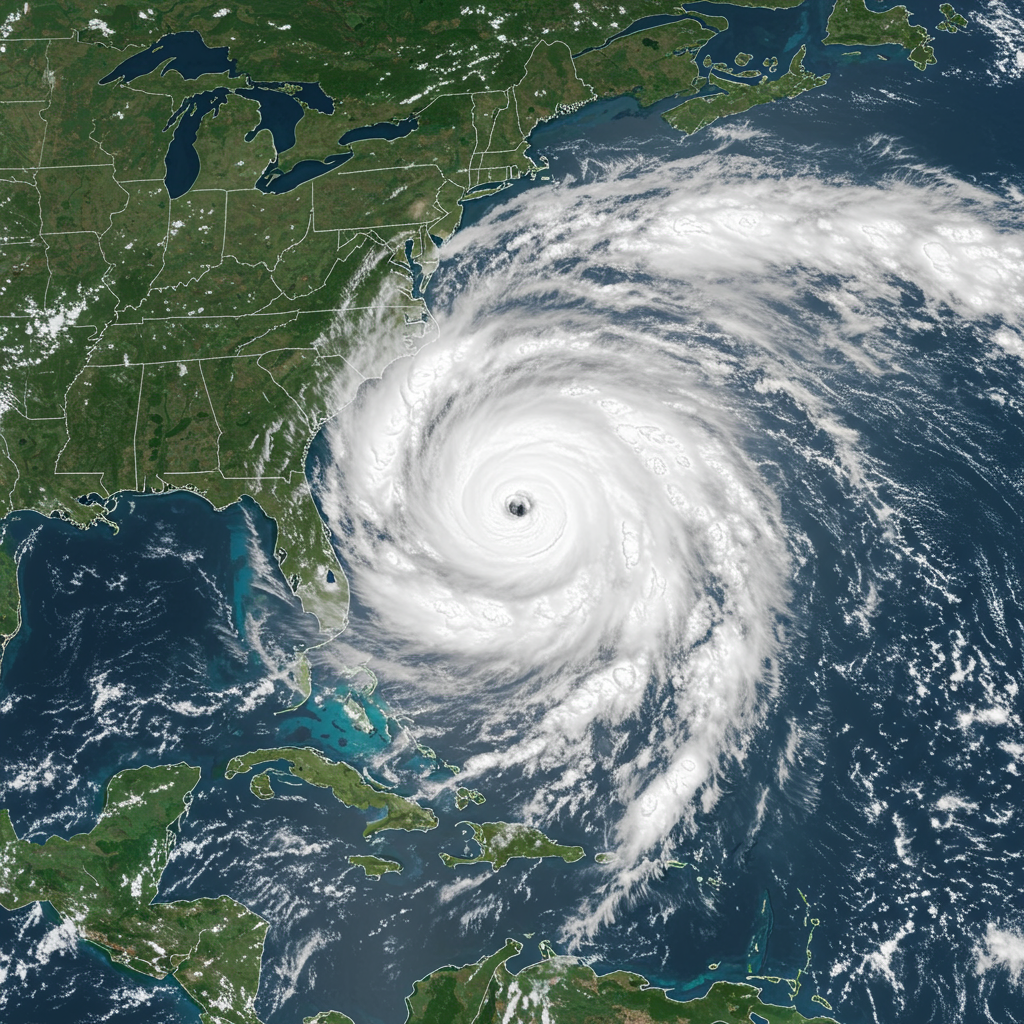
The Atlantic hurricane season is active as tropical Depression Three strengthened rapidly into Tropical storm Chantal just off the Southeast U.S. coast. This marks the third named storm of the season, forming notably earlier than the typical early August timeframe for the third system. First identified as Invest 92L, the National Hurricane Center (NHC) officially designated it a tropical depression before it quickly organized into a tropical storm. Chantal poses an immediate threat to coastal areas, primarily due to the risk of heavy rainfall, potential flooding, and hazardous coastal conditions as it approaches landfall.
As of the latest reports, Tropical Storm Chantal is positioned near the South Carolina coast, having developed along the shoreline near the Fourth of July. Its maximum sustained winds have been measured near 50 mph, with higher gusts possible. The storm’s movement has been slow, initially drifting northward but is now expected to shift towards the north-northwest before making landfall. This system is characterized by a somewhat lopsided structure, which may influence how its impacts are distributed and how quickly conditions improve after it moves ashore.
Chantal’s Location and Forecast Path
Tropical Storm Chantal’s exact location has been closely tracked as it meanders just off the coast. Recent advisories place the storm near the South Carolina-North Carolina border region, though its center location has varied slightly in different updates. The storm is being steered by a combination of a mid-to-upper-level low over the Gulf of Mexico and a narrow ridge to the northeast.
The crucial forecast involves the storm’s path towards the coast. Landfall is anticipated along the South Carolina coast early Sunday morning. Specifically, reports indicate the storm’s center is expected to cross the shoreline near Litchfield Beach, South Carolina, around 4:00 am Sunday. Due to its limited time over open water, significant strengthening beyond a minimal tropical storm is not expected before it reaches land. After making landfall, Chantal is forecast to weaken as it moves inland across the Carolinas throughout Sunday. The system should likely dissipate into a tropical depression by Sunday night or Monday, although some remnant moisture could bring light rain further north into parts of Virginia, Maryland, and Delaware.
Coastal Warnings and Watches in Effect
In anticipation of Tropical Storm Chantal’s arrival, authorities have issued tropical storm warnings and watches for segments of the South Carolina and North Carolina coasts. These advisories highlight areas where tropical storm conditions—meaning sustained winds of 39 to 73 mph—are either expected or possible within a specific timeframe.
A Tropical Storm Warning is currently in effect from the South Santee River, South Carolina, extending northward to Surf City, North Carolina. This means that tropical storm conditions are expected in this area. South of this zone, a Tropical Storm Watch remains in place from Edisto Beach up to the South Santee River. A watch indicates that tropical storm conditions are possible. Forecasters noted that the warning area had been expanded and upgraded from previous watches as the storm approached. Tropical-storm-force winds are currently extending outward up to 140 miles from the storm’s center, primarily to the east.
Primary Threats: Rain, Flooding, and Surge
The most significant threat posed by Tropical Storm Chantal is the potential for heavy rainfall and associated flooding. Regardless of the storm’s wind intensity, tropical cyclones are efficient rain producers, and this system is no exception. Heavy downpours are expected to impact the Carolinas coast, particularly from Saturday afternoon through Sunday.
Rainfall totals are generally forecast to range from 2 to 4 inches, with isolated amounts potentially reaching up to 6 inches near the coast. Further inland, including areas east of the I-77 corridor, rainfall amounts of 1 to 3 inches are possible, with locally higher totals. This heavy precipitation could lead to flash flooding in vulnerable areas. Some pockets of significant rainfall have already occurred in parts of Florida, coastal Georgia, and the Carolinas prior to Chantal’s formal development. The lopsided nature of the storm suggests the heaviest rain will be concentrated on the northern and eastern sides.
In addition to rain, coastal areas are also facing the risk of storm surge. The combination of surge and the normal tide could cause inundation of normally dry areas near the coast. Storm surge levels are forecast to reach 1 to 3 feet from the South Santee River to Surf City and 1 to 2 feet from Edisto Beach to the South Santee River. Isolated tornadoes are also possible in the rainbands, particularly along the eastern coasts of South Carolina and North Carolina through Sunday.
Hazardous Coastal Conditions and Inland Impacts
Beyond wind and rain, Chantal is creating hazardous conditions along the shoreline, particularly amplified during the busy holiday weekend. Dangerous rip currents and high surf are significant concerns. Officials along the coast, including areas like Wilmington, North Carolina, are flying red flags and strongly advising the public to stay out of the water. Rip currents can be deceptive and occur unexpectedly, even if the surface appears calm. Swimmers caught in a rip current often panic when they realize they are not making progress towards shore, increasing drowning risk. Historical data underscores this danger, with hundreds of rip current-related drownings recorded in the Carolinas over the past two decades.
Other coastal hazards include the potential for lightning strikes. Boating activities are also discouraged in areas experiencing high surf and strong winds.
As Chantal moves inland on Sunday, its impacts will extend further into the Carolinas. Areas along and east of the I-77 corridor, such as Charlotte, can expect rainbands throughout the day. These bands will bring on-and-off heavy downpours and gusty winds, with gusts potentially reaching up to 35 mph. The cloud cover and precipitation are expected to keep temperatures cooler on Sunday compared to what’s forecast for the following week.
Preparing for Tropical Cyclone Impacts
While Chantal is considered a “relatively minor and short-lived” storm compared to more intense tropical cyclones, its impacts warrant preparation. Heavy rain, potential flooding, and dangerous coastal conditions can still pose significant risks. This event serves as a timely reminder that the Atlantic hurricane season is underway and preparedness is crucial.
Now is the time to ensure you have a hurricane preparedness kit ready. This should include essentials like bottled water, non-perishable food, extra cell phone chargers, clothing, medications, and other necessities. Reviewing and identifying multiple evacuation routes is also vital, as preferred roads could become blocked or gridlocked by traffic. Staying informed through official sources like the National Hurricane Center and local weather services is paramount throughout the storm.
Frequently Asked Questions
What are the main threats from Tropical Storm Chantal?
The primary threats from Tropical Storm Chantal are heavy rainfall leading to potential flash flooding, coastal flooding due to storm surge and tide (forecast 1-3 feet in some areas), dangerous rip currents and high surf, and gusty winds (up to 50 mph near the center, 35 mph inland). Isolated tornadoes are also possible along the coast.
Which areas are under active warnings or watches for Chantal?
As of the latest updates, a Tropical Storm Warning is in effect from the South Santee River, South Carolina, to Surf City, North Carolina. This means tropical storm conditions are expected. A Tropical Storm Watch is in effect from Edisto Beach to the South Santee River, meaning tropical storm conditions are possible in that area.
How should residents in affected areas prepare?
Residents in the warned or watched areas should finalize preparations. This includes having a disaster supply kit ready with water, food, chargers, etc., reviewing evacuation plans and routes, securing outdoor objects, and staying updated on the latest forecasts and advisories from official weather sources and local authorities. Avoid entering the ocean due to dangerous rip currents.
Chantal is expected to weaken as it moves inland on Sunday, with conditions improving relatively quickly, especially in areas south of the storm’s track due to its lopsided structure. However, localized heavy rain and coastal hazards will persist through the event. Looking ahead, the weather next week is forecast to shift towards significant heat following the storm’s passage. Staying vigilant and informed is key as the hurricane season continues.