The delicate balance of Earth’s polar regions is often described as a vital indicator for the planet’s health. Among the most crucial metrics is the extent and thickness of sea ice, acting as a frontline defense against accelerating global heating. However, a recent decision by the US Department of Defence to cease providing essential satellite data used for tracking this ice has sent ripples of concern through the international scientific community. This move comes at a critical juncture, coinciding with worrying new findings about unprecedented polar ice loss and its potential global consequences.
For decades, scientists worldwide have relied on consistent streams of satellite data to monitor the rapidly changing conditions at both the Arctic and Antarctic poles. This information is far more than just numbers; it’s our planet’s “number one heart rate monitor,” according to experts like Dr. Alex Fraser from the Australian Antarctic Program Partnership (AAPP). It functions as a fundamental “early warning system,” providing near real-time insights into how quickly Earth is warming and the cascading effects that follow.
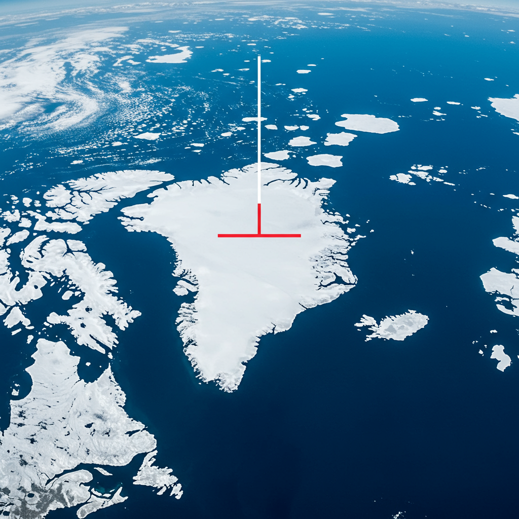
Why Sea Ice Tracking Is Crucial for Understanding Global Heating
Sea ice plays an indispensable role in regulating Earth’s temperature. Its bright, reflective surface, known as the albedo effect, bounces sunlight back into space. This natural shield helps keep the polar regions cool and, by extension, influences global climate patterns. As the planet warms due to increasing greenhouse gas emissions – which reached record levels in 2023 and continue to climb, pushing global mean temperatures to alarming highs (potentially making 2024 the warmest year on record, according to the World Meteorological Organization) – sea ice cover is steadily shrinking.
When sea ice disappears, it exposes the darker ocean surface beneath. Unlike ice, the dark ocean absorbs solar energy, creating a vicious cycle: less ice leads to more heat absorption, which melts more ice, leading to even more absorption. This feedback loop is a key driver of polar amplification, where the Arctic and Antarctic are warming significantly faster than the global average. Tracking the precise extent of this ice loss is therefore paramount for climate modeling, predicting future warming trends, and understanding regional environmental impacts. Institutions like the National Snow and Ice Data Center (NSIDC) at the University of Colorado utilize this satellite information to maintain widely referenced datasets, including the global Sea Ice Index.
The US Decision to Halt Data Sharing
The catalyst for the current concern is the recent announcement that the US Department of Defence will stop processing and sharing satellite data from its Defense Meteorological Satellite Program (DMSP). This decision, communicated to researchers globally, is slated to take effect on July 31st. For over 40 years, this program has been a cornerstone source of crucial weather and environmental data for civilian scientists and forecasters, processed by the Navy’s Fleet Numerical Meteorology and Oceanography Center.
While a US Navy spokesperson confirmed the halt is in accordance with Department of Defense policy, stating the DMSP program no longer meets current information technology modernization requirements and is scheduled for decommissioning in September 2026 anyway, the timing feels particularly detrimental to the scientific community. Some reports have also cited potential cybersecurity concerns as a reason for discontinuing processing the data from these older sensors. Regardless of the precise internal rationale, the external effect is the sudden removal of a long-standing and deeply integrated data source.
Immediate Impacts on Climate Research and Monitoring
The most immediate consequence of the US data halt is the disruption to critical long-term climate records. The DMSP satellites provided data that was consistently processed and made available for researchers studying changes in both Arctic and Antarctic sea ice since 1979. This consistency is vital for identifying trends and understanding the pace of change over decades. Six widely used datasets focused on polar sea ice are directly affected.
Scientists are now scrambling to find alternative sources. While other satellites operated by agencies like NASA, NOAA, and other countries do collect similar data, integrating information from different instruments presents significant technical challenges. As Dr. Walt Meier, a senior scientist at NSIDC, explained, reconciling data from various sensors makes it difficult to maintain a consistent long-term record, potentially adding uncertainty to estimates of trends. Although NSIDC is working to transition to data from sensors on a Japanese satellite accessible through an agreement with NASA, this requires substantial calibration work and the new data may not be directly comparable to the historical DMSP record. This interruption couldn’t come at a worse time, with 2025 already showing alarmingly low Arctic sea ice levels, tracking less than any year since satellite records began.
Linking Sea Ice Loss to Accelerated Sea level Rise
The timing of this data disruption is particularly worrying given concurrent new research. A recent study published in the journal PNAS Nexus, which utilized some of the data now being discontinued, revealed a concerning link between record low levels of Antarctic sea ice in recent years and an observed increase in the rate of icebergs breaking off (calving) from the continent’s massive ice shelves.
While the melting of floating sea ice itself doesn’t directly raise global sea levels (just like ice cubes melting in a glass don’t make the water overflow), sea ice plays a protective role. It acts as a buffer, shielding the vulnerable edges of the floating ice shelves – vast extensions of the land-based ice sheet – from destructive ocean waves. When sea ice cover is diminished, these shelves become more exposed to wave action, causing them to fracture and calve icebergs at a faster rate.
The “Cork in a Bottle” Effect
Glaciologists highlight that these ice shelves act like a “cork in a bottle,” slowing down the flow of the massive land-based ice sheet behind them. If the ice shelves break apart faster due to reduced sea ice protection and increased wave action, the land ice accelerates its movement towards the ocean. This is the critical part: when land-based ice slides into the sea and melts, it does contribute to global sea level rise.
The increased rates of calving observed in Antarctica due to low sea ice are currently not fully accounted for in existing climate models that project future sea level rise. According to Dr. Sue Cook, also from AAPP and a co-author on the PNAS Nexus study, if we continue to rely on models based on historical data from periods with more stable summer sea ice while conditions shift to very low sea ice, we will likely “definitely underestimate how quickly Antarctica will contribute to sea level rise.” This suggests that current projections for future sea level rise could be too conservative, with potentially faster and more devastating impacts for coastal communities worldwide. The World Meteorological Organization also reports that global mean sea level rise is already accelerating, reaching 4.77 mm per year from 2014-2023, more than double the rate from 1993-2002.
Broader Environmental Consequences
Beyond the critical implications for sea level rise, the accelerating loss of sea ice has wider environmental ramifications. These frozen platforms are vital habitats and hunting grounds for numerous polar species. The PNAS Nexus study and other observations point to negative impacts on wildlife populations. For example, unstable sea ice can lead to breeding failures for animals like penguins and seals that rely on these platforms for raising their young. Tragically, an estimated 7,000 emperor penguin chicks perished in late 2022 following the premature break-up of the stable ice they needed before developing waterproof plumage.
The urgency of maintaining continuous, high-quality monitoring of these critical polar environments is underscored by the broader context of climate change. The WMO’s “Red Alert” highlights that climate extremes are worsening globally, exacerbating issues like food insecurity and displacement. Comprehensive data is needed not just for long-term research but also for developing essential adaptation strategies, including early warning systems for extreme weather events and informing resilient energy infrastructure.
The Path Forward: Bridging the Data Gap
The scientific community is now facing the challenge of bridging this significant data gap. While alternative satellite sources exist, the process of calibrating, integrating, and ensuring the long-term consistency of these new datasets is complex and time-consuming. It risks introducing uncertainties precisely when clarity and precision are needed most in tracking accelerating climate impacts.
The US decision to halt data processing, while perhaps justified by internal IT modernization goals for an aging system, highlights the fragility of critical climate monitoring infrastructure. It underscores the need for robust, sustained international collaboration and investment in redundant systems to ensure the continuity of essential climate data streams. Tracking sea ice remains a critical bellwether for global heating, and interruptions to this monitoring capability represent a step backward in our collective effort to understand and respond to the climate crisis. Scientists are working hard to minimize the impact, but the loss of this consistent, long-term record from a reliable source will undoubtedly make the vital task of monitoring Earth’s changing poles more challenging.
Frequently Asked Questions
Why is tracking sea ice considered an “early warning system” for global heating?
Sea ice acts like a reflective shield on Earth’s surface due to its high albedo, bouncing solar energy back into space. As global temperatures rise, sea ice melts, exposing the darker ocean, which absorbs more heat. This positive feedback loop accelerates warming, especially in polar regions. Monitoring the extent and loss of sea ice provides scientists with a direct, real-time indicator of how quickly this warming cycle is progressing, making it a critical early signal of broader climate shifts.
How will the US data halt impact scientists tracking polar ice conditions?
The US Department of Defence’s decision stops the processing and sharing of satellite data that has been a consistent source for monitoring Arctic and Antarctic sea ice since 1979. This creates a data gap, interrupting long-term records used by institutions like NSIDC. Scientists must now rely on alternative satellites, which presents challenges in calibrating new data sources and ensuring consistency with historical records, potentially adding uncertainty to trend analysis precisely when polar changes are accelerating.
What does recent research suggest about the link between low Antarctic sea ice and sea level rise?
New research indicates that record low Antarctic sea ice levels expose ice shelves – extensions of the land-based ice sheet – to increased ocean wave action. This increased exposure accelerates the rate at which icebergs break off (calving). Since these ice shelves act like barriers holding back the massive land ice sheet, their faster breakup allows land-based ice to flow more quickly into the ocean. This process contributes significantly to global sea level rise, and current climate models may be underestimating future sea level rise if they don’t account for this accelerated calving due to reduced sea ice.